On the occasion of World Space Week, held in Seville (Spain) from 4 to 10 October, AERTEC presented the results of the GEODESY Project (Galileo Enhanced Operation for Drone Systems) at the headquarters of the Spanish Space Agency (AEE). The project’s main achievement was the development of a Galileo multi-constellation and multi-frequency receiver that promises high-performance navigation for drones, unmanned aerial systems (UAS) and vertical take-off and landing (VTOL) aircraft, allowing them to meet demanding technical and operational requirements.
Thanks to this system, drone, UAS and VTOL aircraft operations will be more precise and safer with a higher density of aircraft.
Galileo is Europe’s global navigation satellite system that was launched by the European Space Agency (ESA) to provide the European Union with an independent, civilian technology that will complement and compete with the USA’s GPS or Russia’s GLONASS systems.
One of the main “clients” of these systems will be advanced air mobility (AAM). AAM is designed to have a high concentration of manned and unmanned aircraft flying at low altitude over urban environments and requires high levels of precision, something that is difficult to achieve with current navigation systems. Rafael Márquez, Aerospace Systems Business Development Director at AERTEC, highlighted the importance of projects such as GEODESY, stating that “one of the most important scenarios foreseen in the future is undoubtedly real, in-flight operations being carried out by unmanned aerial vehicles in non-segregated airspace, and this is also one of the most relevant for the urban air mobility industry, which is making rapid advances in the technical field but needs this type of projects to validate the operational safety of its technological proposals”.
The GEODESY project is co-funded by the European Union Agency for the Space Programme (EUSPA) and falls under the EASA’s specific drone operations category, with a particular focus on very low level (VLL) routes within a U-Space environment. On VLL routes, safe separation is a critical concept to keep aircraft at a minimum distance from each other and minimise the risk of collision. In this context, the accuracy of navigation systems plays a key role in determining the minimum safe distance between aircraft. This high-performance navigation system is expected to enhance the overall capacity of U-Space as the separation between drones will be reduced thanks to more precise positioning. In this sense, GEODESY could be the starting point for defining collaborative separation concepts between unmanned aircraft.
This project has also taken advantage of the added value of Galileo’s distinctive features to improve drone performance by including OSNMA (Navigation Message Authentication) and HAS (High Accuracy) services.
Márquez adds that “unmanned systems open up new applications and business models that would be unfeasible without proper positioning and control for remotely piloted aerial systems. Given their versatile configuration and adaptability, the number of drones operating in the world’s airspace is expected to grow exponentially over the coming years, and GEODESY is poised to help this emerging market grow in a safe and harmonious manner”.
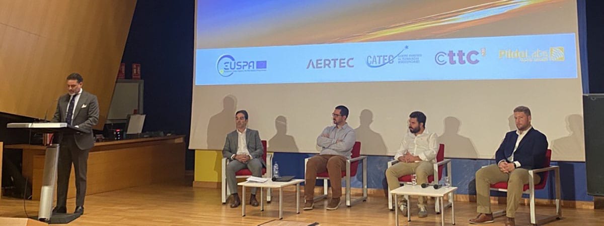
The GEODESY project has been developed by a consortium of companies led by AERTEC, which includes PildoLabs, the Advanced Center for Aerospace Technologies (CATEC) and the Telecommunications Technology Centre of Catalonia (CTTC).
In addition to leading the GEODESY project and acting as the project representative with EUSPA, AERTEC has successfully integrated a Galileo multi-frequency, multi-constellation receiver into the navigation system of TARSIS fixed-wing UAS and has validated its effectiveness during both in visual line of sight (VLOS) and beyond visual line of sight (BVLOS) operations, in a simulation involving a large remotely piloted cargo and passenger transport vehicle in an environment where several multicopters could be performing other missions at the same time.