AERTEC, an international technology firm specialised in aeronautics, is leading the development of an innovative collision forecasting system for flights with UAS lighter than 25 kg, at low altitude (below 120 metres), Beyond Visual Line of Sight in rural settings.
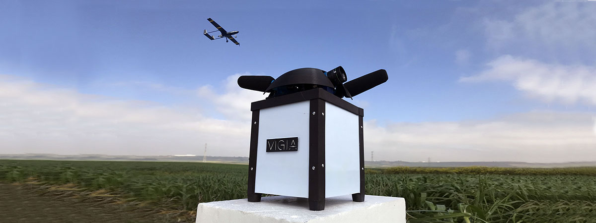
This is a new technological development that uses intelligent ground nodes to allow pilots to apply predetermined manoeuvres to a avoid crashing with other aircraft and obstacles and mitigate the risks of BVLOS (Beyond Visual Line of Sight) operations.
To facilitate the authorisation of flight permits in this context, this system has been developed taking into account current regulatory framework and Spanish civil aeronautical authority considerations.
This system is part of VIGÍA, a project co-financed by the Centre for Industrial Technological Development (CDTI) and the European Union’s ERDF fund as an INNTERCONECTA project. AERTEC is leading the project with participation from Emergya, an engineering firm from Seville (Spain). AERTEC has been responsible for designing and developing the system’s ground detection nodes, with collaboration from FADA_CATEC, and the avoid system, the integration of hardware and software as well as the field tests and validation of the system.
Among the novelties this system incorporates is the use of mobile communications via 4G, which guarantees contact with the aircraft if radio communication (UHF) ceases to be effective. The UAS, ground nodes and control station are interconnected through a platform, which is in the cloud, and makes it possible to gather large amounts of useful decision-making information using disruptive technologies such as artificial intelligence or machine learning.
Since the project begin in 2018, the capabilities of this system have been through several flight test campaigns using AERTEC’s TARSIS 25 unmanned aerial platform.
According to Juan José Calvente, head of AERTEC’s UAS Department, “this new technological development increases the capabilities that our TARSIS unmanned systems already offer, therefore, growing in performance is also growing in solutions for the market.”
Once the project’s final phase ends, the results will be presented to Spain’s civil aeronautical authorities – who have been aware of this project since it began – in order to start using the system, as guaranteeing this specific type of operations at low altitude and Beyond Visual Line of Sight would facilitate authorisation of flight permits in this context. Furthermore, the consortium has already identified possible uses and applications of this technological development, for example, in monitoring and inspecting linear infrastructures.

#uas

