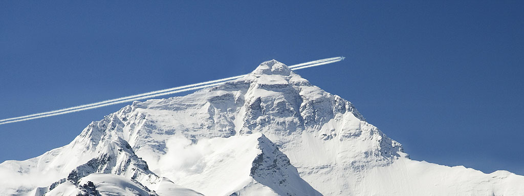
Unfortunately for those who felt like gods as their flags fluttered atop the icy giant, it seems that Mount Everest is not actually the highest peak in the world.
The reason for my opening on such a seemingly trivial matter is that it contains a fairly important reflection for the aeronautical world. You may judge for yourselves as to the depth of the subject:
The availability of an accurate and universal altitude measurement system is a factor that directly affects air navigation.
Not long ago, in early April of this year, a group of French geodesists arrived in Ecuador with the intention of measuring and verifying the data they thought they had on the ranking of the world’s highest peaks. With the help of Ecuadorian scientists, they began to take their measurements at the Chimborazo volcano, located to the south of Quito. Surprisingly, the volcano was found to be located at a distance of 6,384,416 metres from the centre of the earth, while Everest is around 6,382,605 metres from the centre of the earth.
Herein lies the catch and its importance in relation to the aviation world; how do we measure altitude on aircraft?
When we were taught at school that the height of an area was measured with respect to sea level through the application of Torricelli’s theorem with mercury columns, I was always faced with a dilemma: Was not the measurement as fragile as the climate to which we were subjected? The tide at that very moment, and even the pull of the moon…? But the true dilemma was between choosing to convince myself that this was indeed the case or failing the subject. Oh, Galileo!
Once I became involved in the aeronautical world, thanks to my curiosity and my career, I began to study and understand how they came to negotiate those difficulties or doubts in the altitude measurement systems of aircraft. One of my mentors on this issue is a commercial pilot (who, by the way, passed the first stage to be an astronaut and whose name I hope to see someday on a space mission) who, in view of my doubts, commented that it was as simple as asking the control tower what the barometer says, entering that data in the on-board computer and letting it make the calculations as, indeed, atmospheric pressure is not constant. In fact, he mentioned that you usually request the data when you arrive at the destination airport because the pressure varies depending on where in the world you are, even if the atmospheric conditions are similar.
These insights are important, but are still not exact; there is still the issue of gravity. Although we assume that the force of gravity is constant for basic physics calculations, it has been demonstrated, to a greater or lesser extent, that gravity differs from one point on earth to another and this causes errors in measurements using barometers, as two places with different gravitational attraction will have different atmospheric pressure at the same altitude. Ouch! Now that is a problem.
Going back to the group of French geodesists who travelled to Ecuador, they decided to measure the distance from the highest point of the volcano to the centre of the earth. Following the conventional criteria for measuring altitude, Everest is around two thousand metres taller than Chimborazo. But, using this new measurement, the Ecuadorian volcano surpassed the highest peak in the Himalayas.
Now the question is: Although altitude measurement data from atmospheric pressure systems for aircraft are useful and valid, should we just settle for this or should we look for a more accurate and reliable system?
When it came to studying the operation of radars and satellites, teachers always state that there is an inaccurate measurement in relation to terrestrial positioning. With regard to GPS, we are given data with a few centimetres’ error and we are satisfied with it because “it is a permissible error”. In increasingly advanced and widely used UAV technology, these errors can be remedied, but they do not provide the accuracy and reliability needed for a fully autonomous aircraft… not yet.
Would you get on a self-guided and pilotless aircraft?
A story on something as seemingly irrelevant as the height of a mountain may be providing us with useful information on something as important as safety and progress in air navigation systems. Who knows, maybe tomorrow there will be news of an aircraft able to climb a few hundred metres and the following day it will turn out that we have set foot on the moon.


