
Pedro Becerra
Aerospace & Defence Division Director
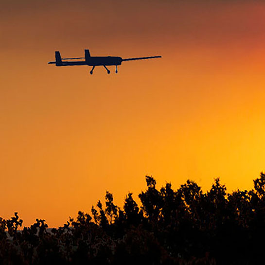
Highly versatile fixed-wing aerial solutions configured to meet the user’s operational needs in observation, surveillance and reconnaissance missions.
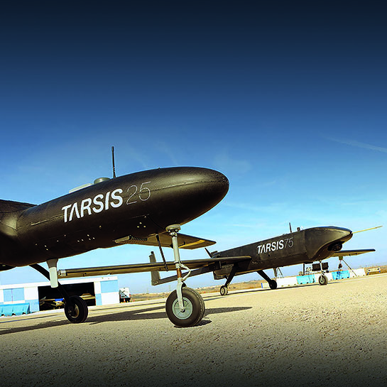
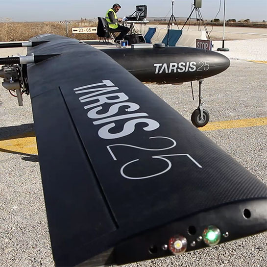
AERTEC designs and manufactures unmanned aerial systems, as well as high-dynamic vehicles for both the civil and military spheres. AERTEC has built light tactical UAS (like the TARSIS 75 and TARSIS 25) for observation and surveillance applications, using its own in-house design and technology.
AERTEC is the design authority and manufacturer of its remotely piloted TARSIS aerial systems, and therefore has the ability to adapt and configure the entire system around the needs of the system operator.
AERTEC’s UAS are designed following the main premises of long flight times and high equipment load, which gives them a great flexibility of configurations, allowing them to be adapted to whatever operating environment they are destined for.
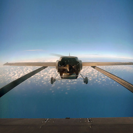
Our two solutions, TARSIS 25 and TARSIS 75, are capable of operating in a wide variety of weather conditions.
The platforms are equipped with a primary nominal communications system, along with a secondary redundant system.
The main video and real-time data link has optional range configurations (40, 70 or 150 km). The secondary data link is satellite connected, and has unlimited range. The communication frequency can be adapted to local operating requirements.
TARSIS systems have two communications systems, which can be optional or redundant.
The mission system includes an optimal flight path generator, which is based on the following: