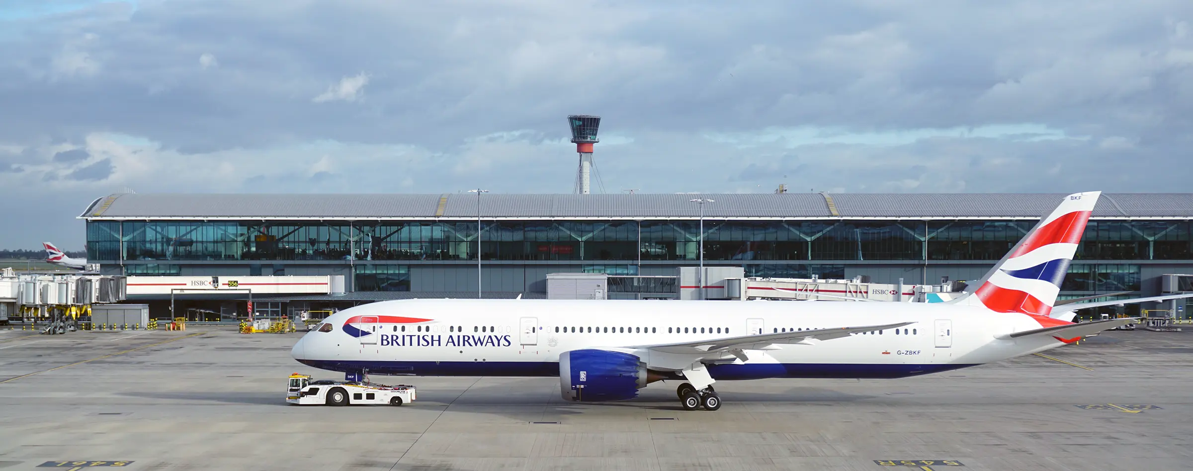
The airports are environments in which millions of passengers every day. At any given time of the day, there is intense activity in hundreds of them around the world, where infrastructures, services, people and processes coexist and interact. This coexistence must also be carried out in accordance with the following standards security very high.
All governments, without exception, consider airports to be strategic infrastructures. For all these reasons, it is necessary for airport managers to have effective tools that allow them to successfully manage all the elements involved in daily tasks. And not only that, but also to provide useful information to third parties who may need it from time to time (emergency services, security forces, administrations, etc.).
One of the tools that has proved to be most effective in carrying out this enormous task of knowledge and coordination of airport facilities and their surroundings are the GIS or Geographic Information Systems.
A GIS is a support (hardware + software) used for the management, analysis, simulation and visualisation of geographically referenced data. In other words, it is a huge database in which we can insert any type of information as long as each piece of data entered has coordinates that locate it in space.
Now then. Let's think about any airport. Let's think about all the data available there that can be geo-referenced. And now let's imagine the enormous possibilities that the combination of all of them offers us. We propose some questions that could be solved by an airport GIS properly configured and loaded with data:
What is the fastest way to access a particular area of the airport at peak times? Where do congestion occurs, and at what times? Are there any gates or corridors that can become bottlenecks?
Where should the airport grow to in order to reduce the noise impact, and what is the most favourable terrain for an expansion?
What are the most popular restaurants at the airport? What route do passengers take to get to them? How many food shops are there along the way? What about vending machines?
Where is the hydrant with the largest volume of water to extinguish a small fire in a given area? What is the quickest access to it?
Sí, además, a los datos referenciados se les añade el parámetro “tiempo”we would even be able to create simulations on the evolution of infrastructures en el tiempo. Y, además, acelerarlas o ralentizarlas para poder percibir la evolución de procesos que, de otra forma, pasarían desapercibidos.
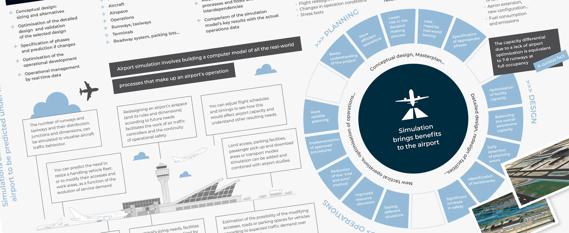
In this infographics we show you some of the most relevant features and uses of geographic information systems at airports. How many new applications can you think of?
Source: Own elaboration
The contents of this document are the intellectual property of AERTEC Solutions. Any copying or distribution is permitted, provided that the document is reproduced in its entirety and that the AERTEC Solutions logo is preserved at all times.