On the occasion of World Space Week in Seville (Spain), from 4 to 10 October, AERTEC presented the results of the GEODESY Project (Galileo Enhanced Operation for Drones Systems) at the headquarters of the Spanish Space Agency. The main innovation has been the development of a multi-frequency and multi-constellation Galileo receiver that promises high-performance navigation for drones, unmanned aerial systems (UAS), and vertical take-off and landing (VTOL) vehicles, meeting demanding technical and operational requirements.
Thanks to this system, drones, UAS, and VTOLs will be able to have tighter precision margins and ensure safe flight with a higher density of aircraft.
Galileo is the European global navigation and positioning satellite system launched by the European Space Agency (ESA), which provides the European Union with independent, civilian technology that will complement and compete with the US GPS or Russian GLONASS systems.
One of the main “customers” for these systems will be Advanced Air Mobility. AAM is intended to have a high concentration of both crewed and uncrewed aircraft. flying at low altitude over urban environments with strict precision margins, something that is difficult to achieve with current navigation systems. Rafael Márquez, Director of Business Development for Aerospace Systems at AERTEC, highlighted the importance of projects like Geodesy, stating that «the scenario of real-time flight operations for unmanned aerial vehicles in non-segregated airspace is undoubtedly one of the most important foreseen for the future and the most relevant for the urban air mobility industry, which is advancing rapidly in the technical field but needs these types of projects to validate the operational safety of its technological proposals.”.
The GEODESY project is co-financed by the European Union Agency for the Space Programme (EUSPA) and is framed within the EASA Specific Category for drone operations, focusing specifically on Very Low Level (VLL) routes within a U-Space environment. In Very Low Level routes, Secure separation is a critical concept to maintain aircraft at a minimum distance from each other and minimise collision risks. In this context, the accuracy of the navigation system used plays a fundamental role in determining safe minimum distances. This high-performance navigation system is expected to improve the overall capability of U-Space by enabling reductions in drone separation thanks to more precise positioning. In this regard, it is proposed that GEODESY could be the starting point for defining concepts of collaborative separation between unmanned aircraft.
This project has also taken advantage of the added value that Galileo offers with its distinctive features to improve drone performance, particularly with the inclusion of OS-NMA (signal authentication) and HAS (enhanced accuracy) services.
Márquez adds that «unmanned systems open up new applications and business models that would otherwise be unfeasible without proper location and control of remotely piloted aerial systems. Given their versatile configurations and adaptability, exponential growth is expected in the number of drones operating in global airspace in the coming years, and GEODESY is poised to contribute to the safe and harmonious growth of this emerging market».
The GEODESY project has been developed by a consortium of companies led by AERTEC, which includes PildoLabs, the Aerospace Technology Centre (CATEC) and the Telecommunications Technological Centre of Catalonia (CTTC).
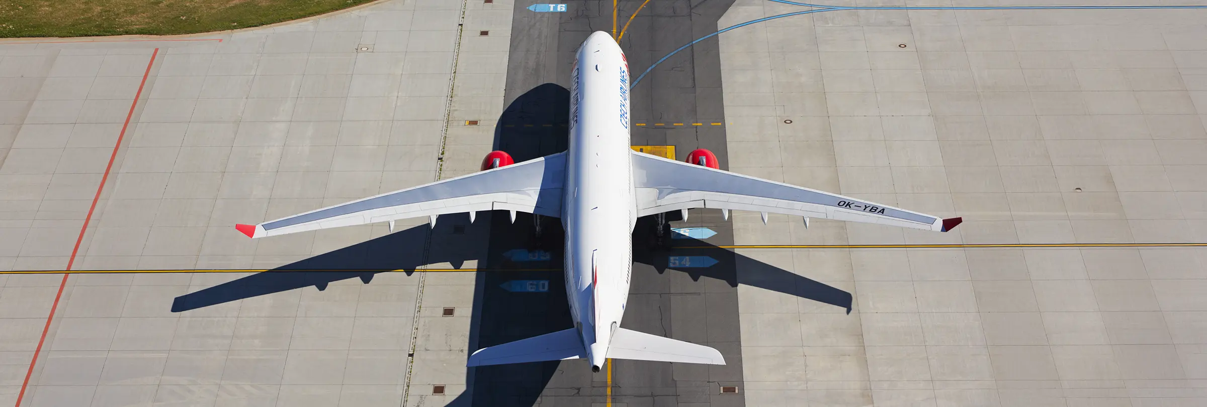
In addition to leading the GEODESY project and acting as its representative to EUSPA, AERTEC has successfully integrated a multi-frequency and multi-constellation Galileo receiver into the navigation system of the TARSIS fixed-wing UAS., validating its effectiveness in both visual line of sight (VLOS) and beyond visual line of sight (BVLOS) operations, in a simulation involving a large remotely piloted vehicle for the transport of cargo and passengers, operating in an environment where several multicopters could be carrying out other missions simultaneously.
IMPORTANT NOTE: References to texts and graphic content relating to the TARSIS solution are merely reviews of the historical trajectory of projects carried out by AERTEC in the past. Currently, TARSIS is not a product owned by AERTEC, nor does AERTEC conduct business as an OEM.