Knowing how to identify each type of cloud not only allows us to anticipate the evolution of the weather, but also to know the normal conditions in which our flight will take place.
When people with a passion for aviation take a flight, we feel a huge sense of satisfaction and a faint smile when we check in if, in that random choice, we get the window instead of the aisle.
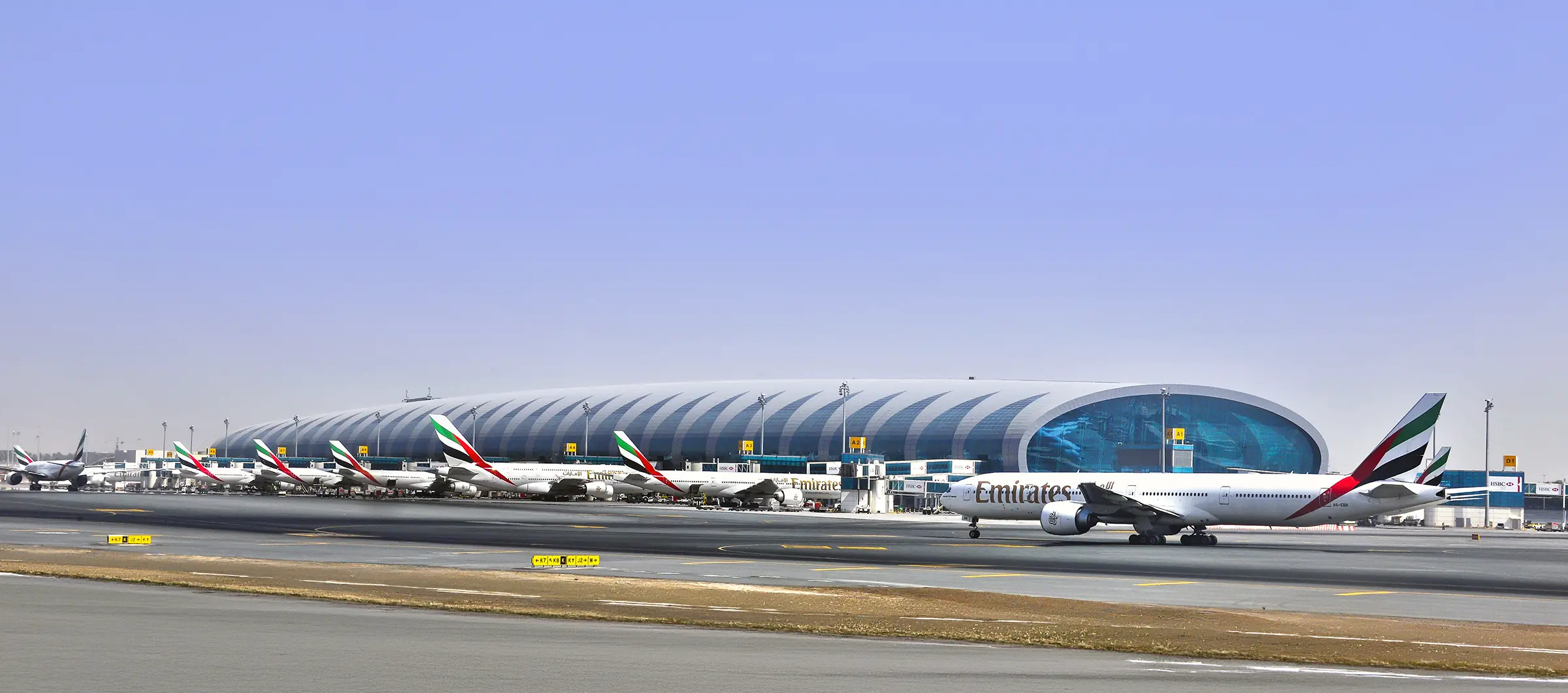
From this position we can see all the Handling operations (ramp, cleaning, catering, fuel...), we listen carefully to the ignition of engines, hydraulic systems, the strange noise of the PTU (which some describe as the barking of a dog; others, as a saw), we observe all the signals and lights of the taxiway, how the flaps are extended... Somewhat later, once the first phases of take-off have begun, we see how the houses, ground vehicles, roads... become smaller and smaller and we fix our gaze on the horizon, looking for any other aircraft... but what we see are clouds.
¿Te has parado a pensar cuántos tipos de nubes hay? ¿Y cómo afectan las nubes a los aviones? Pues bien, acompáñanos en este viaje…
Clouds are the visible effect of a series of dynamic and thermodynamic factors occurring in the atmosphere. Considering this reflection, therefore, clouds with their different types (or the absence of them) represent the real "weather".
A cloud forms when a mass of moist air cools to saturation and then condenses.. Therefore, for a cloud to form, we need the following conditions:
- Humid air mass
- Cooling
- Existence of condensation nuclei
In order to facilitate their study, scientists have classified clouds in different ways, for example, by their appearance, gender and by the height at which they are found, which is the classification we will be guided by in this article. Therefore, we are going to classify clouds as high, medium and low.
High clouds
The base of a high cloud ranges from 6 000-18 000 metres in the tropics to 3 000-8 000 metres in the polar regions. At this altitude, the air is quite cold and dry, so these clouds are composed almost exclusively of ice crystals. The different types of high clouds are:
Cirrus (Ci). Cirrus.
Separate clouds in the form of delicate white filaments and narrow, white and white-white banks and bands. Fibrous appearance, silky lustre.
When they are isolated, they are a sign of good weather, but if they advance in an organised manner and increase northwards, it is a symptom of an imminent change in the weather, a front or a scratch.
They are so faint that the effects on the aircraft are virtually the same as in clear air flight.
Cirrostratus (Cs). Cirrostratus.
They are a kind of transparent cloud veil with a fibrous or completely smooth appearance that covers all or part of the sky and produces the halo phenomenon.
They are usually the leading edge of a warm front, increasing in thickness as it advances, so their presence can be associated with a significant change in weather, and their effects on the aircraft are very weak.
Cirrocumulus (Cc). Cirrocumulus
We can identify them when we observe a thin layer bank or savannah of white clouds, composed of very small elements, in the form of grains, curls, undulations, united or separated and distributed with greater or lesser regularity.
Unless they increase considerably with the passage of time, they do not usually indicate a change in the weather; sometimes they are associated with high-altitude jet streams.
They highlight the presence of instability at the level at which they are found at heights of 7-12 km.
Middle clouds
These are clouds found between 2,000 and 7,000 metres (at mid-latitudes) that are composed of water droplets and, when the temperature is low enough, a few ice crystals.
Altocumulus (Ac). Altocumulus.
They are identified as a thin-bedded bank that has shadows composed of slab-like, rounded masses, which are sometimes partially fibrous or diffuse.
When they are isolated, they are synonymous with good weather. In case of an increase in their density or if they are mixed with Altostratus, they indicate the proximity of a front or squall. They can cause precipitation.
Altostratus (As). Altostratus.
They are identified as a sheet or layer of greyish or bluish clouds with a fibrous or uniform striated appearance that covers all or part of the sky as if it were a large savannah. It has thinner parts that allow the sun to be seen, as if through a glass window.
They are associated with warm fronts, usually giving continuous showers or light snowfalls.
They indicate to pilots the proximity of a frontal system and surface icing on aircraft is usually weak.
Nimbostratus (Ns). Nimbostratus.
They can be identified as a grey, often dark, cloud cover, veiled in appearance by the precipitation of rain or snow falling more or less continuously from it. It is thick enough to obscure the sun completely.
These are thick medium clouds associated with frontal systems. They can produce icing if the temperature is suitable. Turbulence is only moderate, except at low levels and in mountainous areas where it can be strong.
Low clouds
They are those whose bases are below 2,000 metres and are almost always composed of water droplets, although in cold climates they may also contain ice and snow particles.
Stratus (St). Strata.
A generally grey cloud layer with a uniform base from which drizzle or ice prisms may fall. When the sun is visible through the layer it is clearly distinguishable.
They are very low clouds and are therefore unimportant on routes, but on landing they can constitute a serious obstacle as their base is below the regulatory minimums for landing. They do not produce turbulence or icing.
Stratocumulus (Sc). Stratocumulus.
They are identified as a bank, savannah or layer of grey or whitish clouds that almost always have dark classes composed of slabs, rounded masses, which may or may not be joined together.
They are associated with good weather when in summer they appear in mid-afternoon as a consequence of the evolution of good weather cumulus clouds. They are not good indicators of weather change.
Below the stratocumulus there is usually turbulence caused by thermal changes. Above them the flight is usually in very stable air. In case of icing it would be very weak.
Cumulus (Cu). Cumulus.
These are wispy, generally dense clouds with well-defined outlines, developing vertically in the form of bulges, domes or towers, the convex upper parts of which often resemble a cauliflower. The sunlit parts of these clouds are bright white; their base is dark and horizontal. Sometimes they appear torn by the wind.
It is best to try to go around them, and if you have to go through them, you should do so at the highest possible height.
Other clouds
Cumulonimbus (Cb). Cumulonimbus
Dense cloud with vertical development in the shape of a mountain or large towers. It has the characteristic shape of an anvil. Below the base, which is very dark, there are low torn clouds, precipitation and showers, accompanied by gusty winds and electrical discharges that occur between clouds or between clouds and the ground.
They may occur in isolation with a width of 25 km, or in a spiral of up to 500 km in length. They should be avoided if possible by rounding them if they are isolated and crossing them if they are in the form of a spiral. These systems are associated with strong turbulence, hail, icing and electrical phenomena.
Altocumulus Lenticularis
It is formed by a strong wind at high levels of 3 to 5 km, forming leeward waves, with several overlapping layers (lentils) remaining stationary.
Mammatus
Breast-like clouds hanging from the top of the Cumulonimbus anvil, although they sometimes occur in the Altostratus. They are produced when there is a cooler, wetter part at the top of the descending cloud and warm air below it that rises.
Virga
Sometimes water droplets, layers of snow or ice crystals falling from a cloud evaporate before they make contact with the ground, creating a curtain-like visual effect hanging from the cloud base.
Condensation trails
Clouds of artificial origin, as they are produced by aircraft jets flying at high altitude, between 8-12 km. The engines expel water that freezes immediately if certain conditions of humidity and temperature are met. If the air layer is not sufficiently humid, contrails will not form.
Sea of clouds
We are above it and, as the sun reflects off it, we seem to be in a sea of clouds.
Pileus
A cap-shaped cloud above the top. Its formation is due to the rapid rise of strong convective currents on days of marked instability, which pass through thin, moist, stable layers interspersed in the upper troposphere.
In aeronautics, and especially in the field of air transport it is very important to recognise the clouds and to know the influence that each of them can have on the flight. For this reason, knowledge of them is part of the basic training of any crew.
And for those of us who are passionate about the air, there is nothing better than being entertained from our window, discovering the clouds that we will find on each journey.